Forecast rainfall accumulation footprints are now available to Tropical Storm Risk business subscribers, alongside wind and gust footprints, for hurricanes and tropical cyclones worldwide.
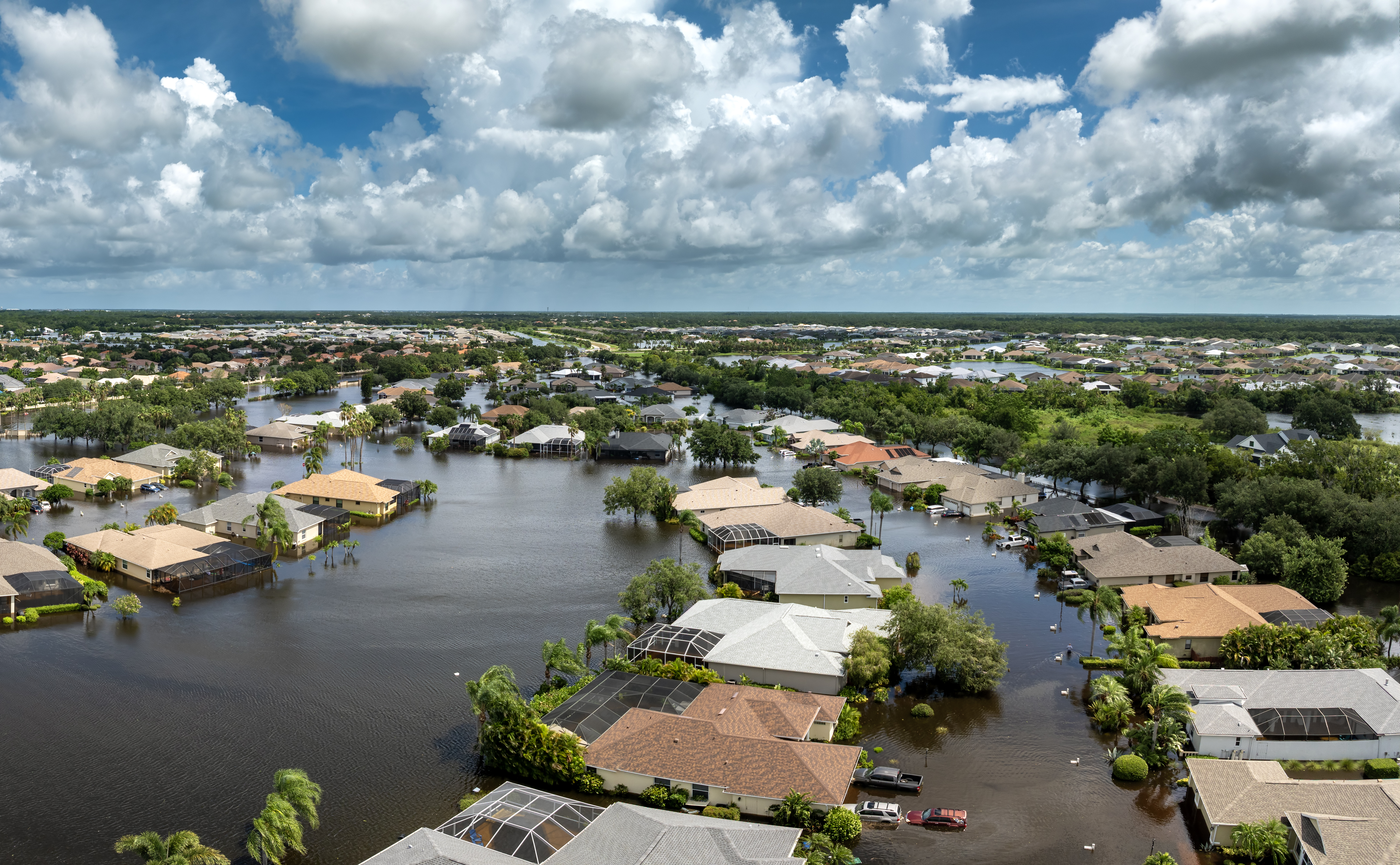
A tropical disturbance can generate torrential rains which often have more devastating consequences (floods, landslides, mudslides) compared to the damage from high winds. Unlike the wind, the intensity of rainfall is not linked to the intensity of the disturbance. Relatively weak tropical low-pressure systems (eg tropical depressions,) can result in heavier rains than mature cyclones. Even for systems of similar intensity, rainfall can vary a lot from one cyclone to another.
In August 2017 Hurricane Harvey, one of the most damaging hurricanes on record, made landfall near Rockport in Texas. After a second landfall event the storm lingered over eastern Texas depositing in places over a metre of rain, peaking at 1,539mm at Hederland. The storm caused $125 billion in damage, primarily from catastrophic rainfall-triggered flooding in the Houston metropolitan area and Southeast Texas, making it equivalent to Katrina in impact and was the costliest natural disaster recorded in Texas at the time.
TSR’s Forecast Rainfall Accumulation datasets have lead times of 12, 24, 48, 60, 72, 96, and 120 hours. With a 5km resolution and the ability to download in numerous formats, this product is used by governments, humanitarian organisations, risk management teams, utilities managers, and insurers worldwide, to help mitigate against the risks which extreme rainfall poses.
To trial some free sample data, please contact neha.shah@eurotempest.com .